
Nicholls geomatics is a leading force in research using unmanned aerial systems
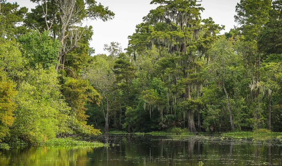
Photo submitted by Dominique Barquero
Nicholls State University’s geomatics program is leading the way in Louisiana’s civil research using unmanned aerial systems.
The Nicholls geomatics program is the only geomatics program in the state. Balaji Ramachandran, associate professor of the geomatics program, said that while that in itself is incredible, he wanted to find a way to put Nicholls’ geomatics program on the map.
The program began to work with unmanned aerial systems in 2005, following Katrina. Ramachandran said the systems were used to collect data from the Barrier Islands. This made Nicholls the first public institution in Louisiana to use unmanned aerial systems.
“We chose the Barrier Islands because that’s the first line of defense for hurricanes,” Ramachandran said.
Ramachandran said most geographic imagery is taken by satellite or is aircraft based, which can cause problems because of cloud cover. He said the use of unmanned aerial systems has become a popular way to get geographic imagery because it is quick, more accurate and has higher resolution imagery.
Ramachandran said because Louisiana is a coastal state, data collection of the coastline is very important. He said he began to work with Gary Lefleur, an associate professor in the department of biological sciences, on the data collection of the coastline Barrier Islands.
“He had a lot of work already going in, he knew the landscape so we could integrate an interdisciplinary [research program],” Ramachandran said.
In 2010, Navigation Electronics, Inc., donated a fixed-wing unmanned aerial system with a camera that’s image analysis was much more useful for the tasks the drone was being used for, said Ramachandran.
“We tried to go at least three times a calendar year so that we can map seasonal changes and what is happening with coastal restoration,” Ramachandran said.
In 2015, Shell Offshore, Inc., purchased an unmanned aerial system for the Nicholls geomatics program to use to collect data on Shell’s oil rig flairs, making Nicholls geomatics the first institution in the world to use unmanned aerial systems to study rig flairs.
At this point, Ramachandran said he thought it was important to incorporate the use of unmanned aerial systems into the geomatics curriculum locally. Many students were not able to participate in the flying of the aerial vehicles because it was not a conveniently accessible activity.
Due to travel times and to the Federal Aviation Administration’s regulations, the aerial systems were only allowed to be flown along the coast and were only done on the weekends.
“It was very, very difficult to get that authorization to fly in a national airspace because we had to coexist with manned aircrafts,” Ramachandran said.
However, Ramachandran said that after maintaining an excellent reputation for seven years, the geomatics program was granted permission to fly the unmanned aerial vehicles at the Nicholls Farm in Thibodaux.
Since the use of unmanned aerial systems has become more accessible to Nicholls students, the geomatics program has collaborated with the United States Army Corps of Engineers and is now able to use their data as sample data to work and practice with.
Nicholls geomatics then began working with Terrebonne Parish Consolidated Government to collect data using the systems to map and monitor the parish’s levees.
A former geomatics student, Brennon Dardar, was able to present part of the research at the State of the Coast Conference in 2018 and was awarded first place for the research.
The American Sugar Cane League also made a donation to Nicholls geomatics for a prototype study of local sugar cane growth and production. Ramachandran said the program is currently applying for a bigger grant to continue the research on sugar cane.
Ramachandran said that the Nicholls geomatics program is the leading program in Louisiana when it comes to data collection with unmanned aerial systems for coastal restoration, levees, oil rigs, pipelines and agriculture. He also said it is a great program for geomatics students to get experience using these systems and working with data collected from them.