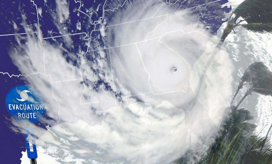
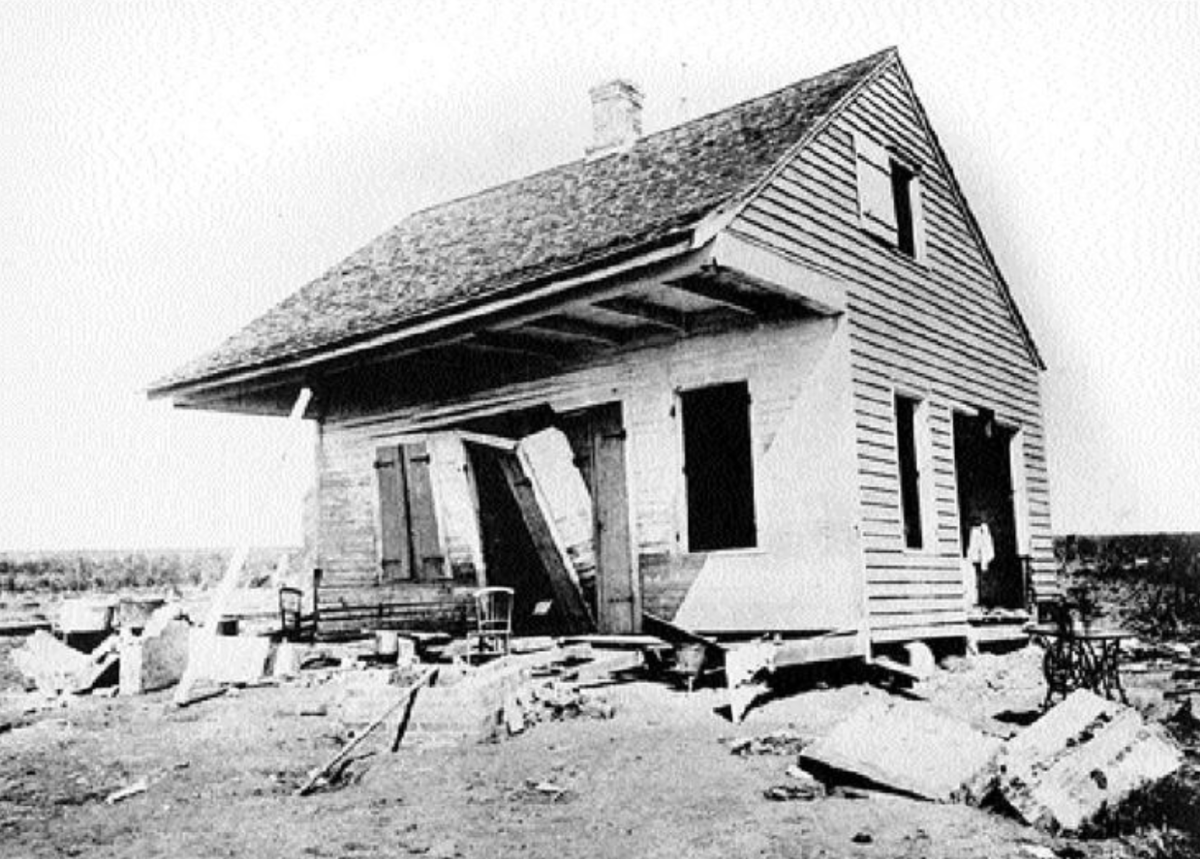
The 2012 Atlantic hurricane season is underway and the University emergency preparedness website has information on how to prepare for possible storms.
The Climate Prediction Center says there is a 70 percent chance of nine to 15 named storms, where four to eight will become hurricanes and of those, three will become major hurricanes with winds from 111 miles per hour or higher.
As stated on sci-tech-today.com, “between 1981 and 2010, an average season produces 12 named storms and six hurricanes.”
The University has an emergency preparedness site that offers hurricane safety tips, a preparedness guide and more information on hurricanes. The safety tips go through what to do before, during, and after a storm.
The site offers insight on what a weather advisory means and what to listen for when an advisory is sent out.
A hurricane/tropical storm watch means that a storm is possible for the area, usually within 36 hours. The site recommends to the public to prepare at home and be sure to have a current evacuation plan.
Hurricane/tropical storm warning means that conditions are expected for the area, usually within 24 hours. The public should complete storm preparations and evacuate if told to do so says the University’s emergency preparedness website.
For the university the biggest aspect when preparing for a storm is to make sure all the phases of the emergency preparedness plan are completed, Brian Clausen director of environmental health and safety said.
“Hurricane emergency preparedness plan will be revised with minor changes and up next week,” Clausen said.
“Hurricanes are huge heat engines, converting the warmth of the tropical oceans and atmosphere into wind and waves,” kids.earth.nasa.gov says.
According to the site, hurricanes need at least three conditions to form. The first is that the ocean waters need to be warm enough to produce heat and moisture into the atmosphere. The second condition that needs to exist is that moisture from seawater must combine with the heat and energy to form the engine that propels the hurricane. The third condition is that the winds must be near the ocean surface to spiral air inward. Thunderstorms will form, allowing air to warm and rise higher into the atmosphere. As long as the winds are light in the upper atmosphere the hurricane can stay intact and grow stronger.
As stated on spaceplace.nasa.gov, the scientific term for these storms are “tropical cyclones.” Only tropical cyclones that form in the Atlantic and Pacific Ocean are referred to as hurricanes. In other parts of the world storms are referred to as cyclones and typhoons. No matter the term, all of the storms form the same way. Storms north of the equator spin counterclockwise and south of the equator spin clockwise. The difference is due to the Earth being on an axis.
Kids.earth.nasa.gov says hurricanes usually form from pre-existing storms in the tropical circulation. Some of the largest and strongest hurricanes originate from Western Africa and then move off the coast into warm waters and gain strength and become a hurricane. The strongest part of the hurricane is the eye wall.
The site states that the hurricane’s eye wall is made up of bands of clouds around the center. This is where the most intense winds and rains can be found. A storm that is powerful and survives for long periods of time experiences eye wall replacement cycles. This cycle is when a second band of clouds form around the existing eye wall and then takes over.
There are some enemies, such as El Nino, to the formation of a hurricane.
As reported on kids.earth.nasa.gov, “El Nino, an abnormal warming of surface ocean waters in the eastern tropical Pacific, is part of what’s called the Southern Oscillation. When El Nino is not present the moisture from rainfall is not near the surface of the ocean and the winds are above the surface causing no interaction between the two. When El Nino is present the warm moisture from rainfall is near the surface and so is the wind causing the clouds to pick up the moisture causing a storm to begin.
According to kids.earth.nasa.gov, “The National Aeronautics and Space Administration is continuing to take part in efforts to understand El Nino better because no one El Nino is the same and the atmosphere does not react to El Nino the same each time.”
For more information on University procedures and preliminary precautions, visit the University’s emergency preparedness website at emergency.nicholls.edu.


